The Climate Atlas of Canada combines climate science, mapping, and storytelling together with Indigenous Knowledges and community-based research and video to inspire awareness and action.
Indigenous Knowledges
![]()
This new content, co-developed with our partners, shares diverse Indigenous knowledges across diverse territories from coast to coast to coast.

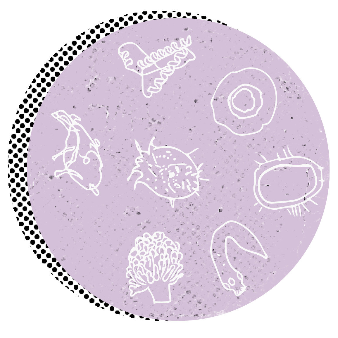
Health professionals on the front lines play a key role in responding to zoonotic disease threats, a role increasingly important as climate change reshapes zoonotic disease risk. These resources are developed for healthcare professionals to support ongoing awareness in their practice, but are also useful for anyone to learn about Zoonotic Infectious Diseases.
Explore and Download
Climate Cards
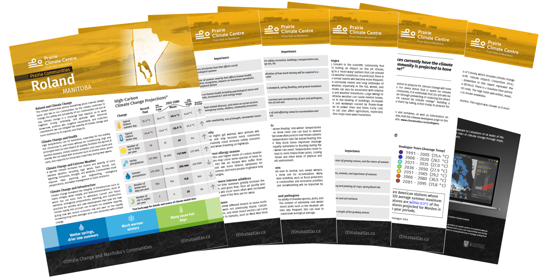
For Rural Municipalities and Northern Communities of Manitoba
Rural municipalities and Northern Communities are experiencing the impacts of climate change and are increasingly taking steps to plan and prepare for them. Climate cards are a useful starting point when beginning the climate change adaptation planning process, providing guidance on potential hazards and climate related consequences. They summarize likely climate impacts by season and the key climate variables linked to them. Click below to explore and download climate cards for Rural Municipalities and Northern Communities in Manitoba.
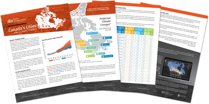
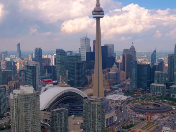
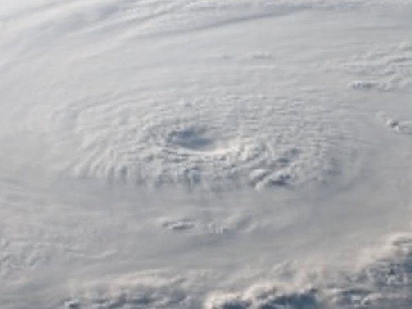
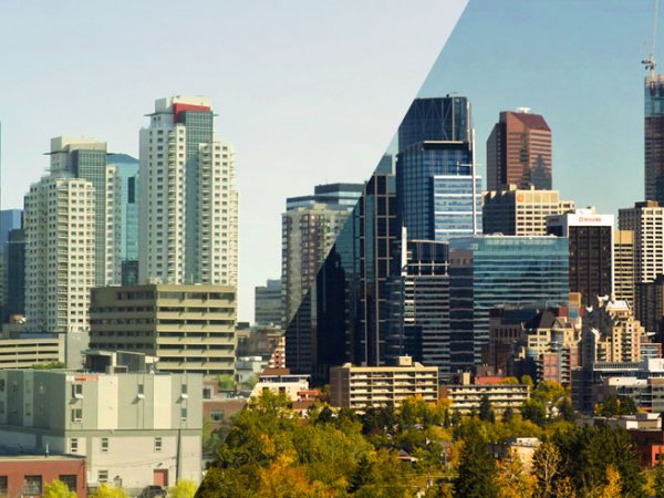
Climate Change
AND CANADA'S CITIES
Four out of five people in Canada live in urban areas, which means the vast majority of Canadians face the growing risks that climate change is bringing to our cities and towns.
In this series of city reports, we offer a summary of projected climate changes for Canada’s major cities, an overview of some important national, regional and local impacts, and ideas and approaches that can be used today to take meaningful climate action across the country.
Cities are a powerful source of resilience and resourcefulness when it comes to taking action on climate change. Learn more about what climate change means where you live.
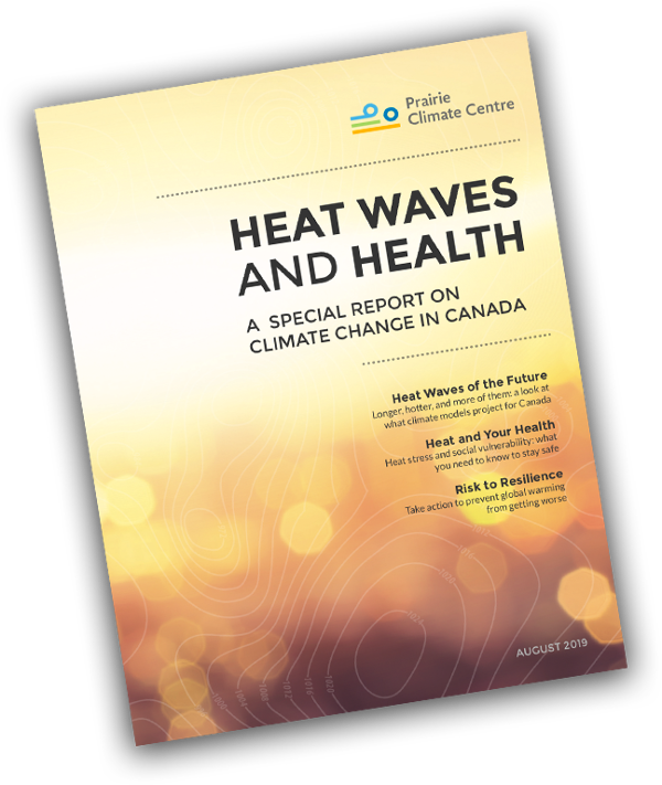
SPECIAL REPORT ON
Heat Waves and Health
Many Canadians welcome the arrival of hot summer days as respite from our long, cold winters.
But too much heat can be dangerous.
There’s no doubt that with climate change we’re going to see more heat waves. Even temperate coastal cities such as Vancouver are preparing for extreme heat impacts.
This report takes a look at what extreme heat means for the health of Canadians.
Download the report (PDF, 16MB)
What does climate change mean where you live?
Explore Maps
Our interactive climate change map allows you to explore how climate change will impact your community. Choose one of the suggested climate variables or just jump into the map to get started.
Maps
Indigenous Climate Change Maps
New Indigenous map layers provide climate data for 634 First Nations and 53 Inuit communities from coast to coast to coast, as well as climate projects across the Métis homeland.
Look for the Indigenous icon on the left of the map to visualize these data and resources.
![]()
Explore Topics

Hot summer days may sound like a good thing, but they come with many risks to human health. On top of increased risks of heat stroke and exhaustion, hot temperatures can lead to more forest fires smoke problems, promote the... Learn more

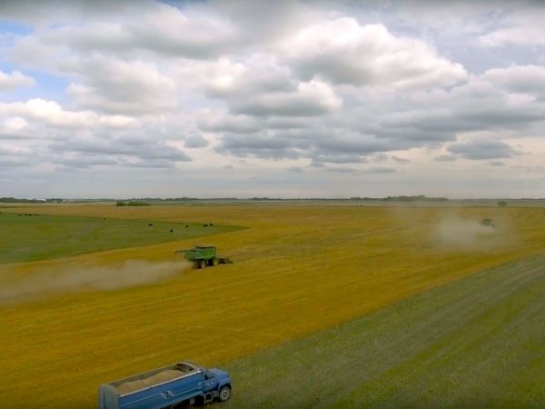
From the largest farm to the smallest market garden, agriculture thoroughly depends on climate. Learn more about how crops and livestock will be affected, and how farms and farmers can rise to the challenge of climate change.
Learn more

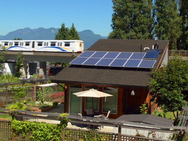
The climate determines almost everything about how we design, build, and live in our cities. Now, with our climate changing, we need to re-think important aspects of how we live our urban lives.
Learn more

Canada’s forests stretch across the country and have enormous economic, cultural, environmental, and recreational value. Find out what climate change means for Canada’s forests and trees.
Learn more
Global warming is happening because human activity is increasing the concentration of greenhouse gases in Earth’s atmosphere. Learn more about the science behind our understanding of the planet’s climate system.
Learn more

Climate change impacts all of us. Its causes and effects are deeply linked to all aspects of modern life, which means there are many meaningful choices we can make that will help.
Learn more


.png)