![]()
Take Action
Climate change is a large-scale problem, but it’s also a direct result of our collective choices and actions. That means we can make a difference.
![]()
![]()
Climate change is a large-scale problem, but it’s also a direct result of our collective choices and actions. That means we can make a difference.
Climate change is a large-scale problem, but it’s also a direct result of our collective choices and actions. That means we can make a difference.
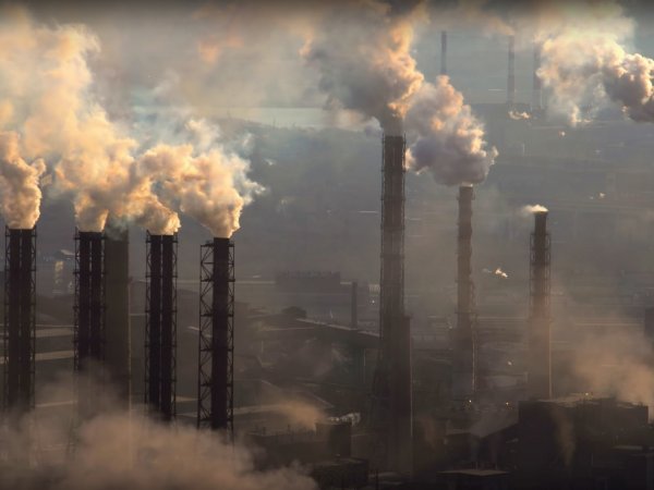
Huge amounts of greenhouse gases have been released as an accidental side effect of how we built our modern infrastructure and economy over many years.
For most of this history, we simply didn’t realize the serious impacts on the planet that were being caused by high-carbon industrial development. Now, however, we know that greenhouse gases are driving climate change. We can’t use ignorance as an excuse any more.
Climate change solutions start close to home, with simple actions in our own homes and families, but also involve new ways of thinking, planning, and acting in workplaces, neighbourhoods, and communities across the country.
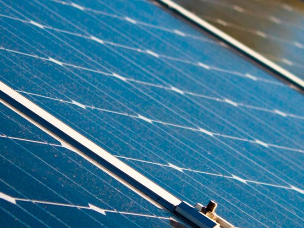
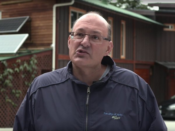
On Gabriola Island, community members are beginning to notice the impacts of climate change. To reduce their ecological footprint, some residents started a non-profit organization called GabEnergy, which helps people order and install affordable solar energy systems on their homes. GabEnergy member Michael Mehta discusses the solar panels on his house and the potential for distributed, renewable energy systems across Canada.
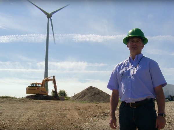
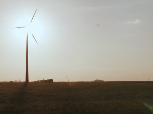
An energy revolution is hitting the town of Tatamagouche, Nova Scotia. New 800 kW wind turbines are popping up everywhere, transforming the ever-present wind into electricity that’s then used to power electric cars and off-set the communities reliance on fossil fuels. The move to renewables isn’t just reducing the community’s impact on the climate, it’s also sparking a whole new green economy.
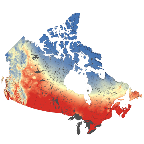
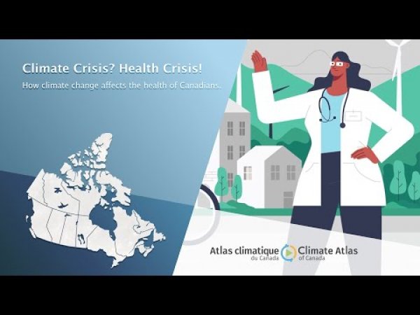
The Climate Atlas allow you to explore how climate change is likely to impact Canada’s urban centres. Hotter temperatures can magnify pollution problems and cause health problems, and changes in precipitation and freeze-thaw patterns can accelerate damage to critical infrastructure.
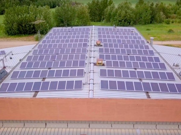
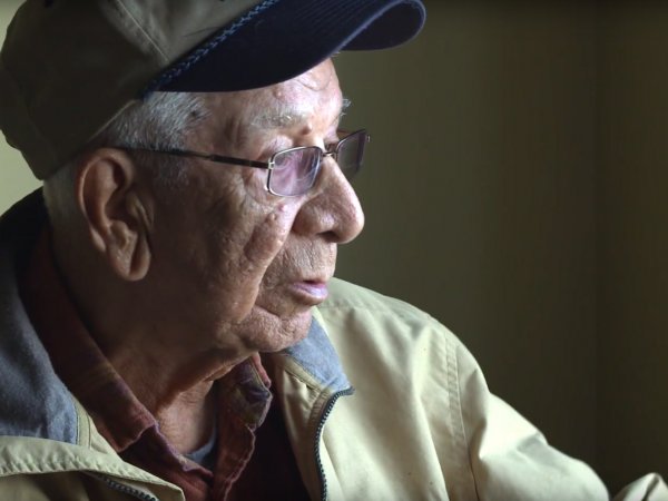
As their oil wells began to dry up, the small community of Montana First Nation was faced an unemployment crisis. That’s when the idea of solar energy came up. The Nation founded Green Arrow Corp. Akamihk, western Canada’s first Indigenous-owned and operated community solar energy company. Green Arrow’s own team of trained community members is now installing solar panels across all of Alberta.
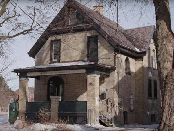
The Residential Energy Efficiency Project (REEP) House is a 100-year old house in Waterloo, Ontario that has been retrofitted to be maximally energy efficient. This demonstration project shows how older housing stock can be an effective part of the climate change solution through a combination of cutting edge technology and simple upgrades.


Join our mailing list to stay informed about Climate Atlas updates, including new maps, research, and videos, as well as outreach and educational activities by the Prairie Climate Centre.
Help us create a dialogue across Canada: please subscribe.
Stories and explanations about climate change, and local climate data that can be explored using maps and graphs.
High-resolution climate data to help decision makers build a more resilient Canada.
Advanced tools for academia, climate scenario developers, and other expert users.
This project was undertaken with the financial support of:


.png)