The Climate Atlas allows you to explore how climate change can impact your health.
Hot temperatures can make pollution problems worse, lead to more dangerous heat waves, greatly increase the risk of forest fires, and more.
Understanding the magnitude of these changes and risks allows citizens, politicians, and planners to take meaningful action to mitigate and adapt. The following maps describe some of the key climate impacts facing the health of Canadians:
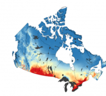
Plus 30 degree days
Prolonged exposure to high heat can have a serious impact on our health. It is important to also take the Urban Heat Island Effect into account when considering the effects of rising temperatures in urban environments. Hot temperatures can also lead to more severe weather, including high winds, lightning and torrential rains.
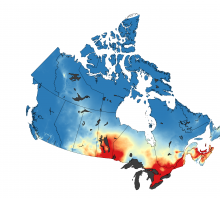
Tropical Nights
High night time temperatures are another indicator of persistent heat. Our map of Tropical Nights shows that rising overnight temperatures are another important consequence of climate change. In many places, people can no longer count on night-time respite from hot summer days. Prolonged extreme heat can do a lot of harm to your body if you are unable to cool down, and can increase stress and anxiety as well.
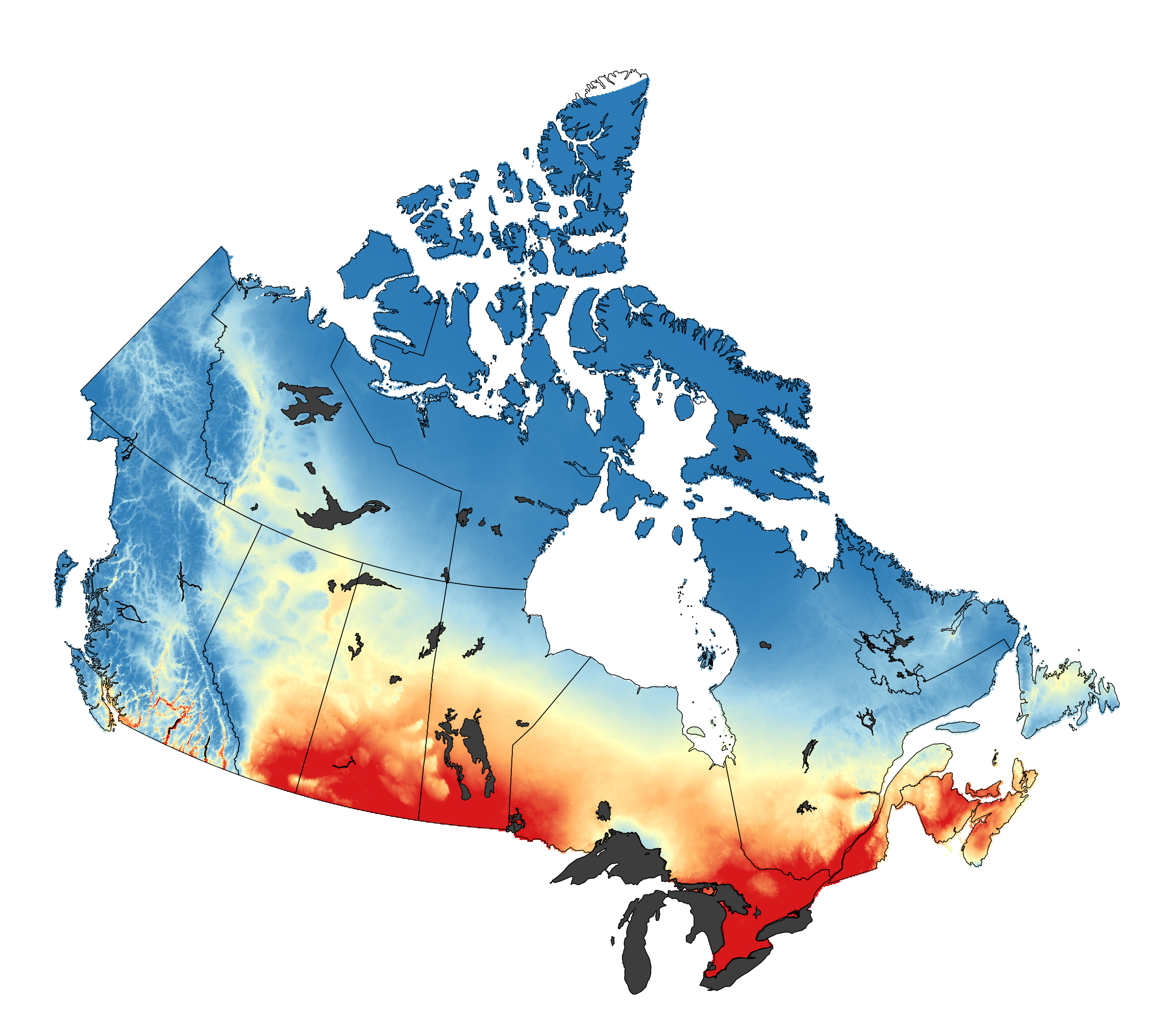
Cooling Degree Days
Cooling Degree Days are often used to estimate how much air-conditioning is required in a year. Places projected to see an increase in Cooling Degree Days values will likely experience hotter or longer summers. People who don’t have air-conditioning or other means of cooling themselves off may have difficulty keeping cool during these hot conditions.
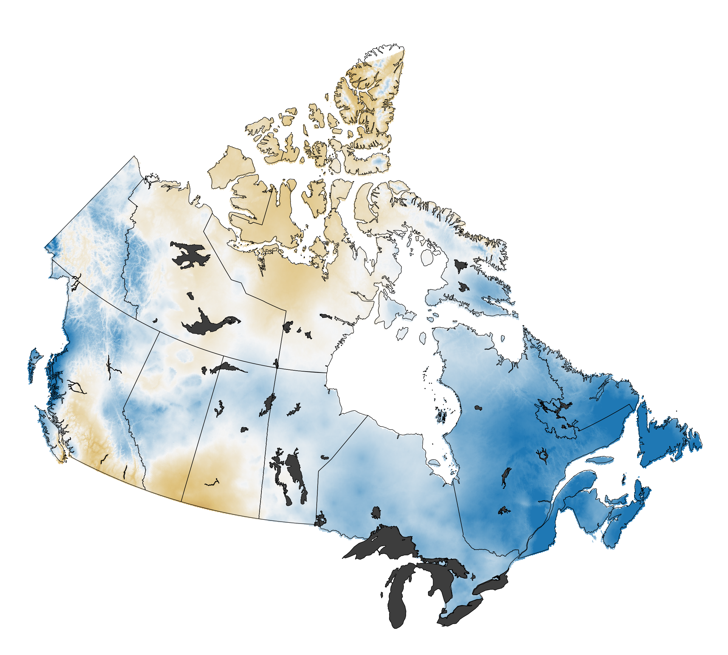
Precipitation
The Atlas provides precipitation data averaged across the seasons, so it is possible to explore how precipitation patterns might change over the course of the year. For many parts of southern Canada, summer precipitation is expected to decrease. Prolonged dry periods greatly increase forest fire risks. However, for other parts of Canada, summer precipitation is expected to increase, with more intense rainstorms triggered in part by hotter daytime temperatures. Larger storms can spawn flash flooding, high winds, lightning, and even tornados.
Recommended Article Citation
Climate Atlas of Canada. (n.d.) Climate Maps for Health. Prairie Climate Centre. https://climateatlas.ca/climate-maps-health


.png)


